![]()
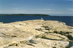 |
Over millions of years, Earth's crust gradually lifted and squeezed layers of rock to fashion the mountains of the Northeast. Eventually hundreds of streams formed on these mountains and began to flow toward the Atlantic Ocean. About forty thousand years ago, massive glaciers crept along these same stream beds, scouring and straightening them.
During the last Ice Age, the land that constitutes the present Maine coast was several hundred feet above sea level and a hundred miles from the sea. When the glaciers finally began to melt about eighteen thousand years ago, sea levels began to rise. Although the land rose, too, as the groaning weight of the glaciers was lifted, the sea rose even higher. The waters flooded the basins and submerged the coastal river valleys, forming islands from the high ground as well as numerous bays and inlets. The rushing water also carried away molten lava and deposited it to form thick layers of sediment. These spectacular actions, combined with continual erosion by wind and water, resulted in Maine's irregular, jagged coastline.
![]()